Bonaire
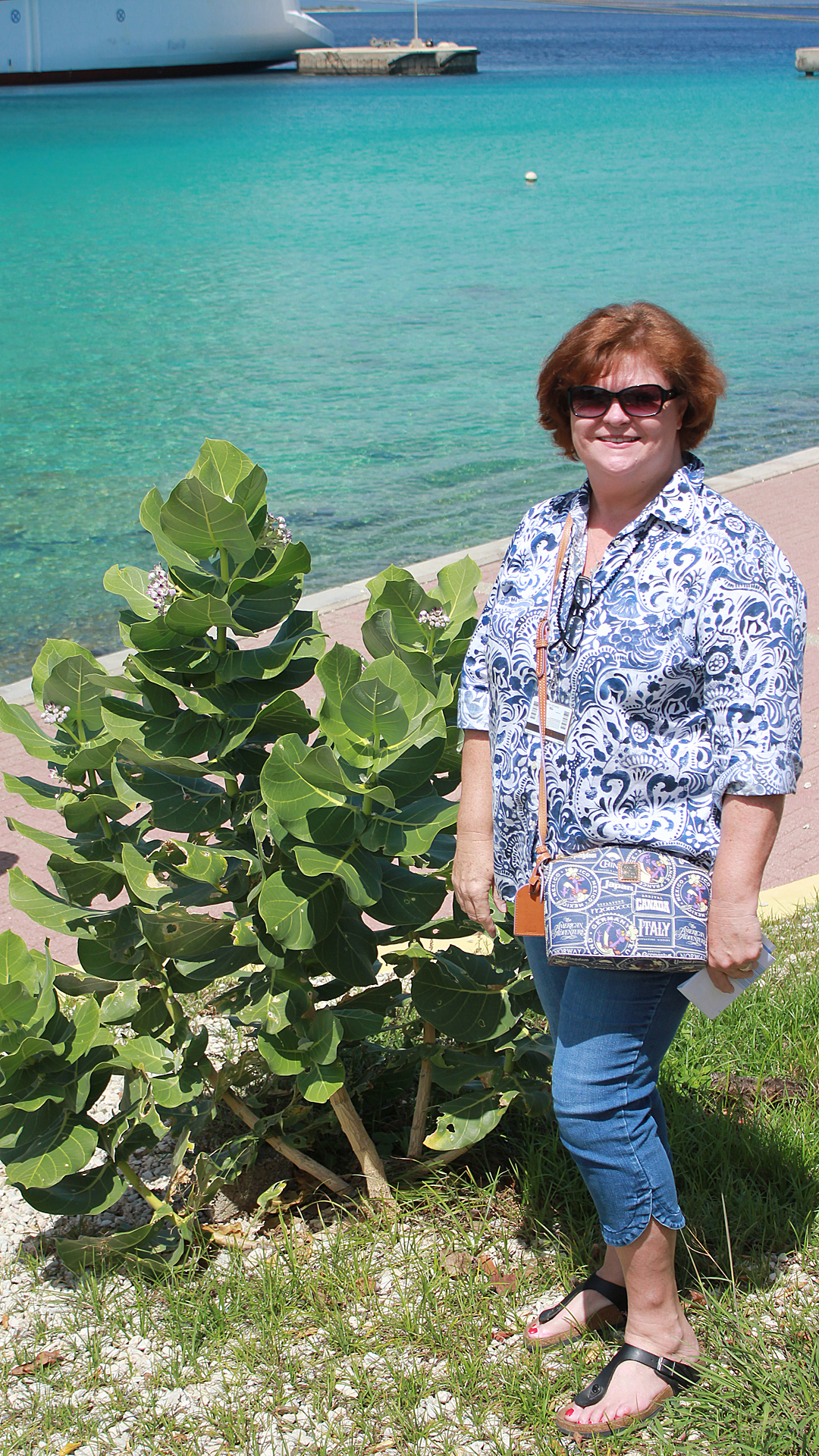
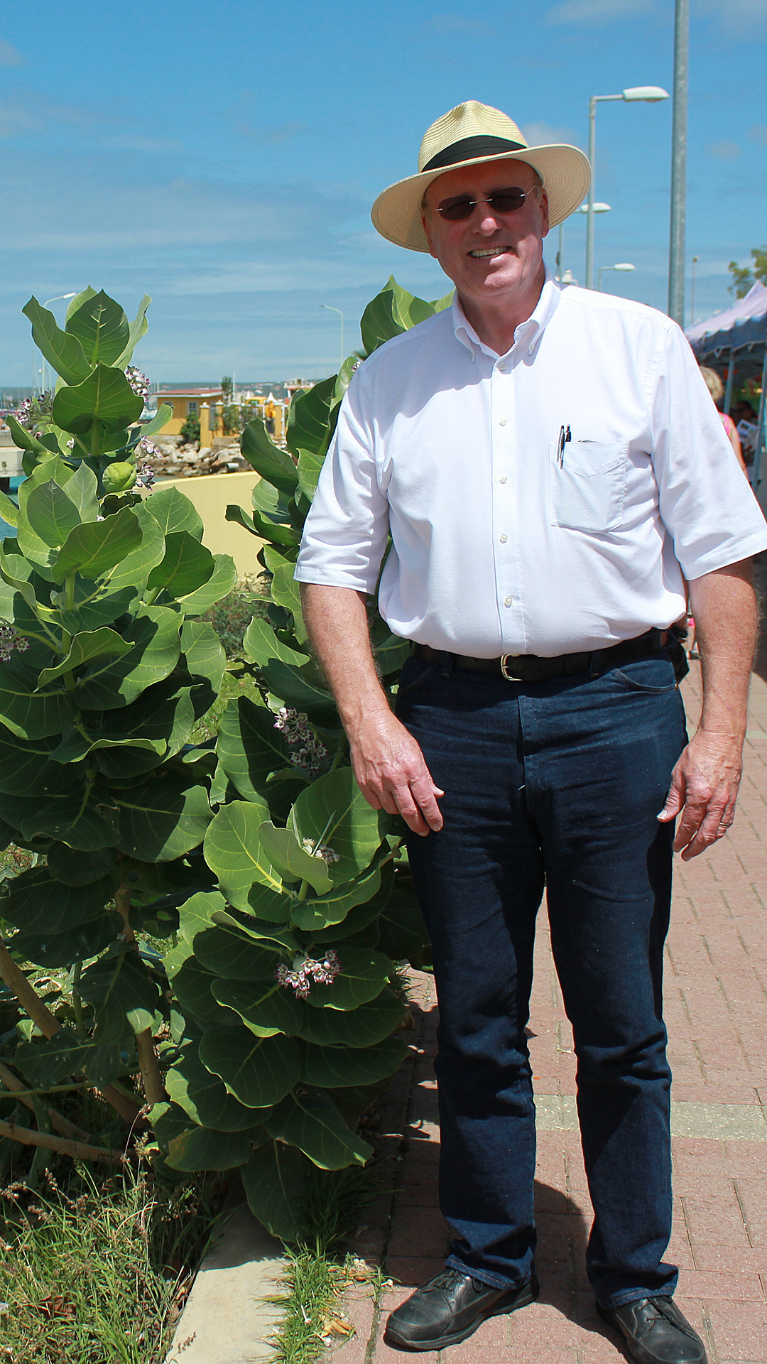
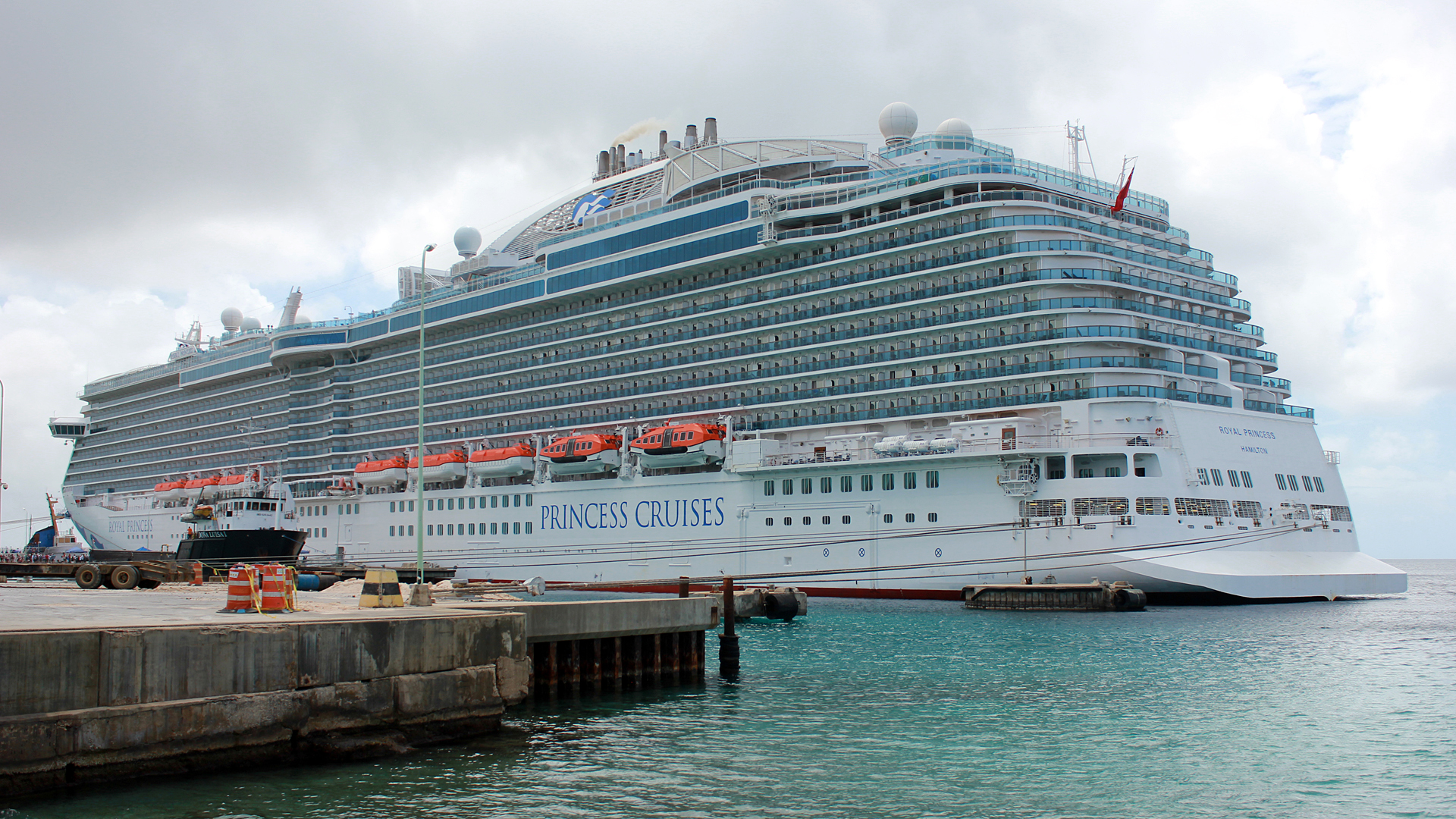
Lanee and I travelled to Bonaire by cruise ship on February 24, 2018. Bonaire is close to the islands of Aruba and Curacad (sometime referred to as the ABC islands) located in the Caribbean Sea fifty miles northwest of Venezuela in South America. Bonaire is one of six islands in the area owned by the Dutch
Bonaire was part of the Netherlands Antilles until the country's dissolution in 2010, when the island became a special municipality (officially "public body") within the country of the Netherlands. It is one of the three BES islands in the Caribbean, along with Sint Eustatius and Saba.
The coordinates for the island is 12o11' N 68o15' W.
Demographics
The island has a permanent population of 18,905 (as of 1 January 2015) and an area of 114 square miles (together with nearby uninhabited Klein Bonaire).
The two main religions in Bonaire are Roman Catholic (68%) and Protestant (16%).
Common languages--74.7% Papiamentu creole, 11.8% Spanish, 2.8% English, and 1.8% other.
Climate
Bonaire has an arid climate, which helps tourism, as visitors to the islands can reliably expect warm, sunny weather.
Bonaire has a warm, humid, and windy climate (Nearly constant winds blow from the east with an average speed of 13.8 miles per hour). The average temperature is 81.5o F with a 2.5o F seasonal variation, and 10o F daily variation. The ocean temperature around the island fluctuates between 78 and 86o F. The highest recorded temperature is 96.4o F and the lowest, 67.6o F.
The humidity is very constant, averaging 76% and fluctuating between 85% and 66% on a daily basis. Average annual rainfall is 20.5 inches, most of which occurs in October through January. Bonaire lies outside the hurricane belt, though its weather and oceanic conditions are occasionally affected by hurricanes and tropical storms. This semi-arid climate is conducive to a variety of cacti and other desert plants.
Main Sources of Income
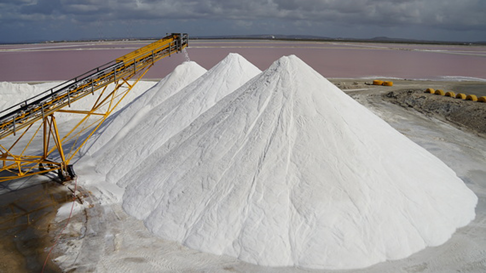
Tourism is the main source of income for the island. The production of salt is the largest industry which uses the naturally low-lying geography and traditional Dutch dyke design. Much of Bonaire's southern half has been made into a giant system of ponds and pools which evaporate seawater to produce salt. Presently operated by Cargill, Bonaire's solar salt works produces 400,000 tons of industrial grade salt per year. After collection, the salt is then washed and stored in large piles. The salt facility operates its own pier where ships are loaded with salt destined for North American, European and Western Pacific markets. Bonaire's salt is used mostly in industrial roles.
Salt has been exported from the island for more than 350 years. Shown below are some of the visible white mountains of salt.

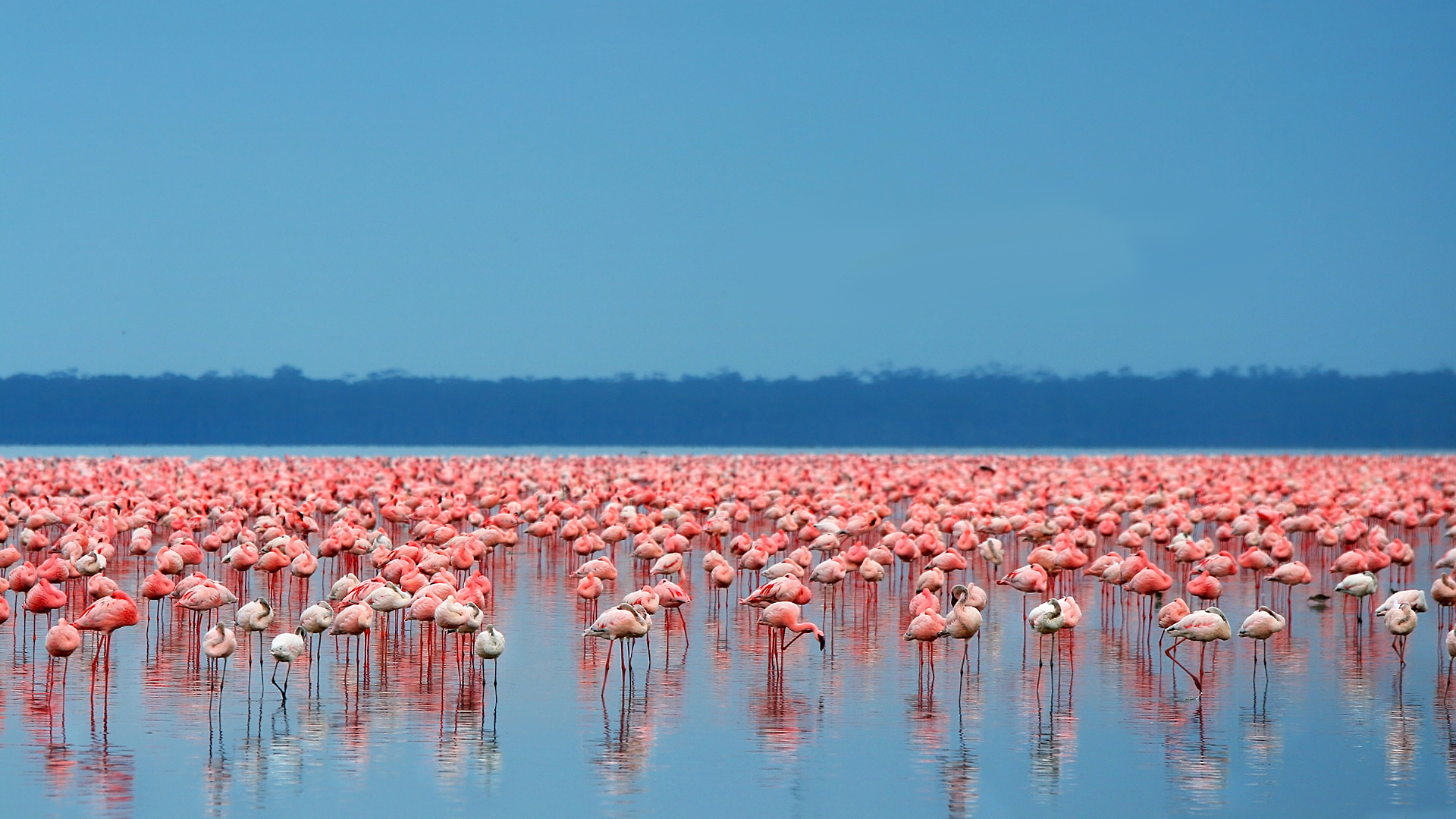
The large condensing ponds which ring the crystallizer basins, called the Pekelmeer, are a natural habitat for numerous species of brine shrimp which in turn feed flocks of hundreds of pink flamingoes and other migratory birds. This is the location of Bonaire's flamingo sanctuary.
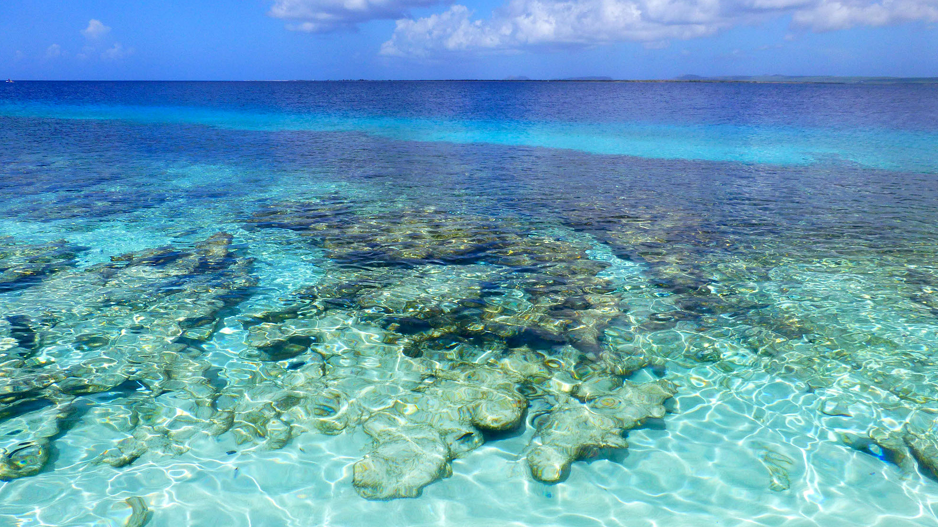
Bonaire's Marine Park offers a total of 86 named dive sites, and is home to over 57 species of soft and stony coral and more than 350 recorded fish species.
Points of interest
- Bonaire National Marine Park
- Mangazina de Rei Culture Park
- Goto Lake
- Klein Bonaire
- Lac Bay
- Kralendijk, is the Capital City and main port
- Rincon
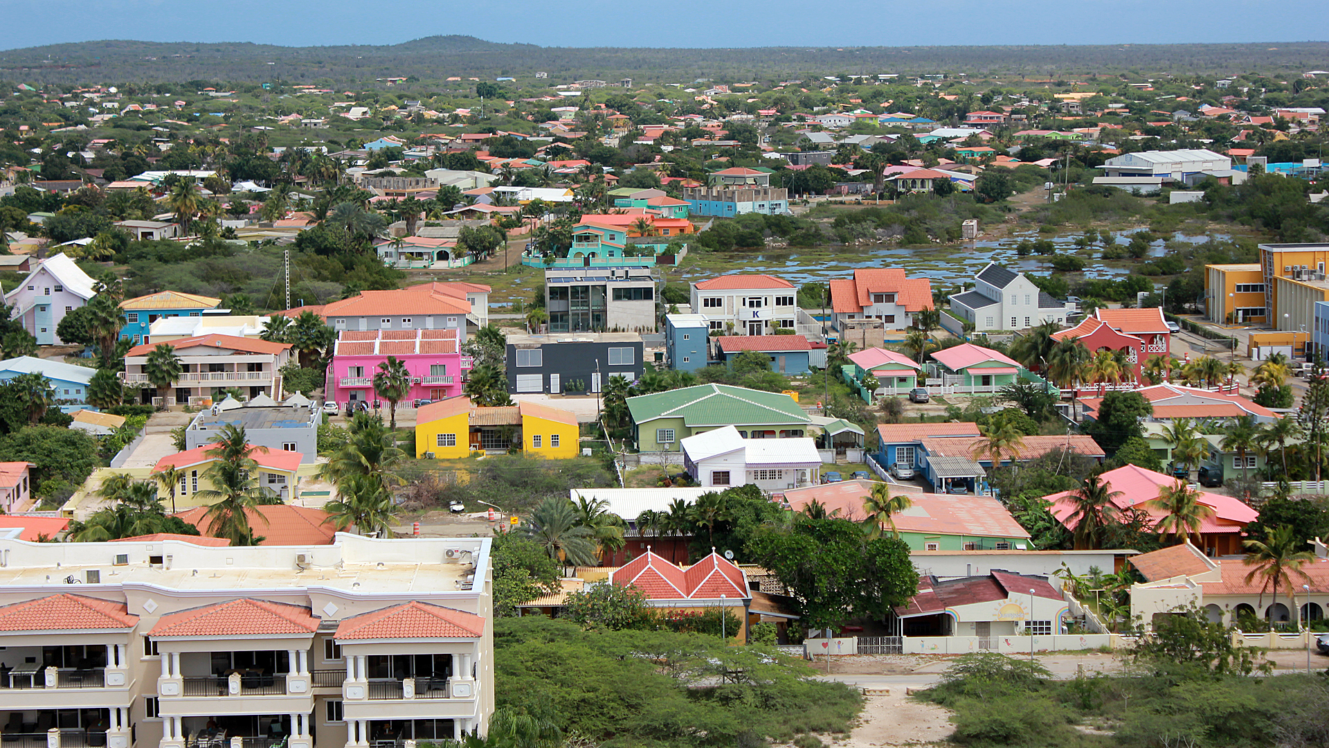
View of Bonaire
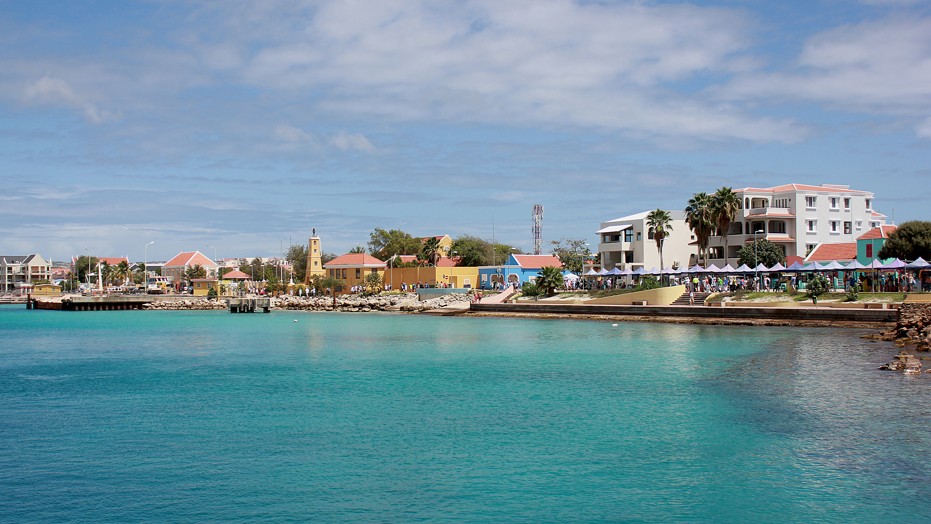
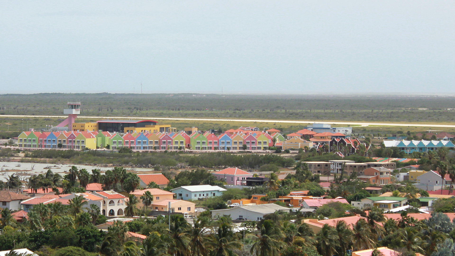
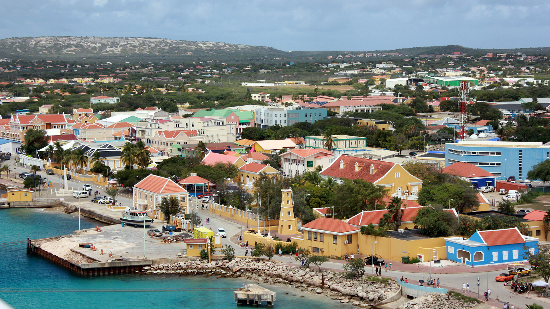
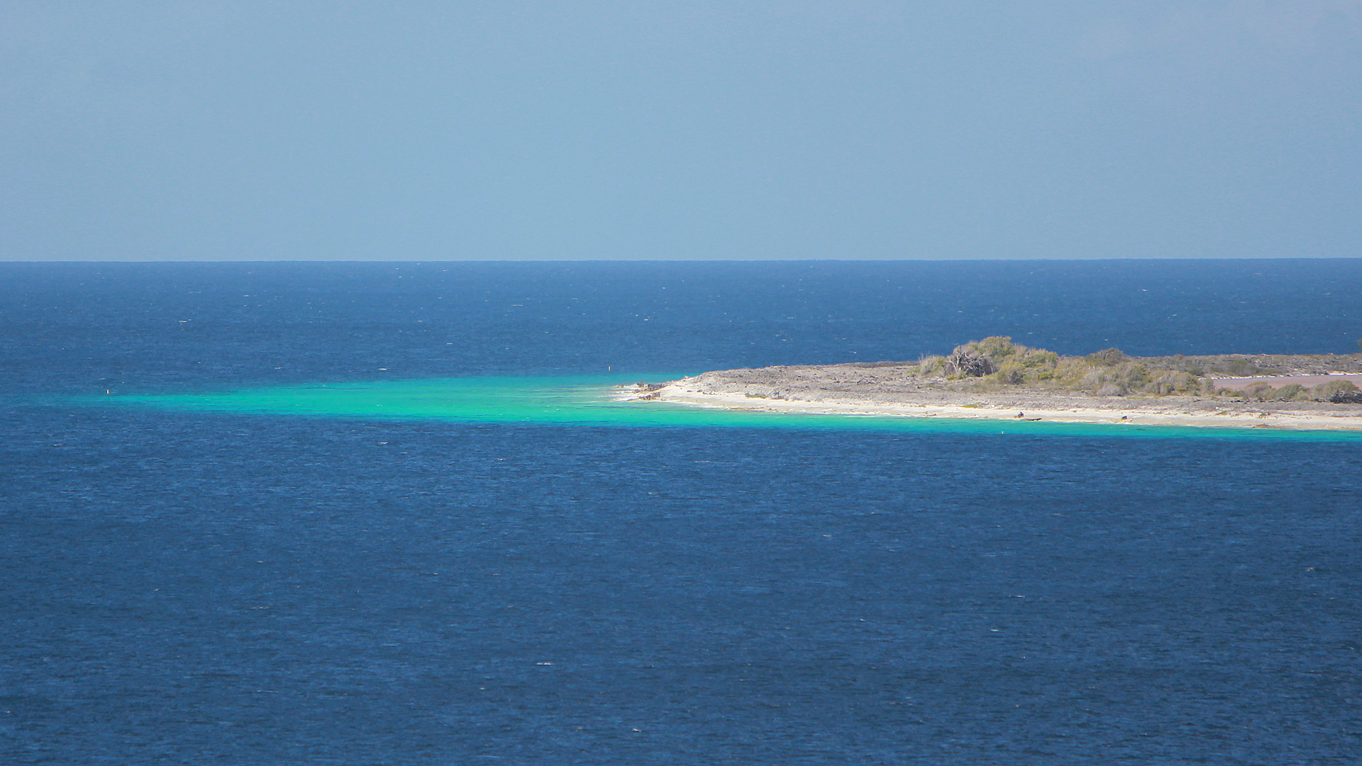
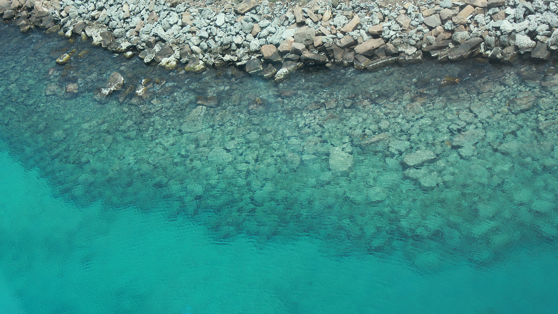
Beautiful Clear Blue Water, Mountain of Salt, Back to the Ship
Misc Pictures

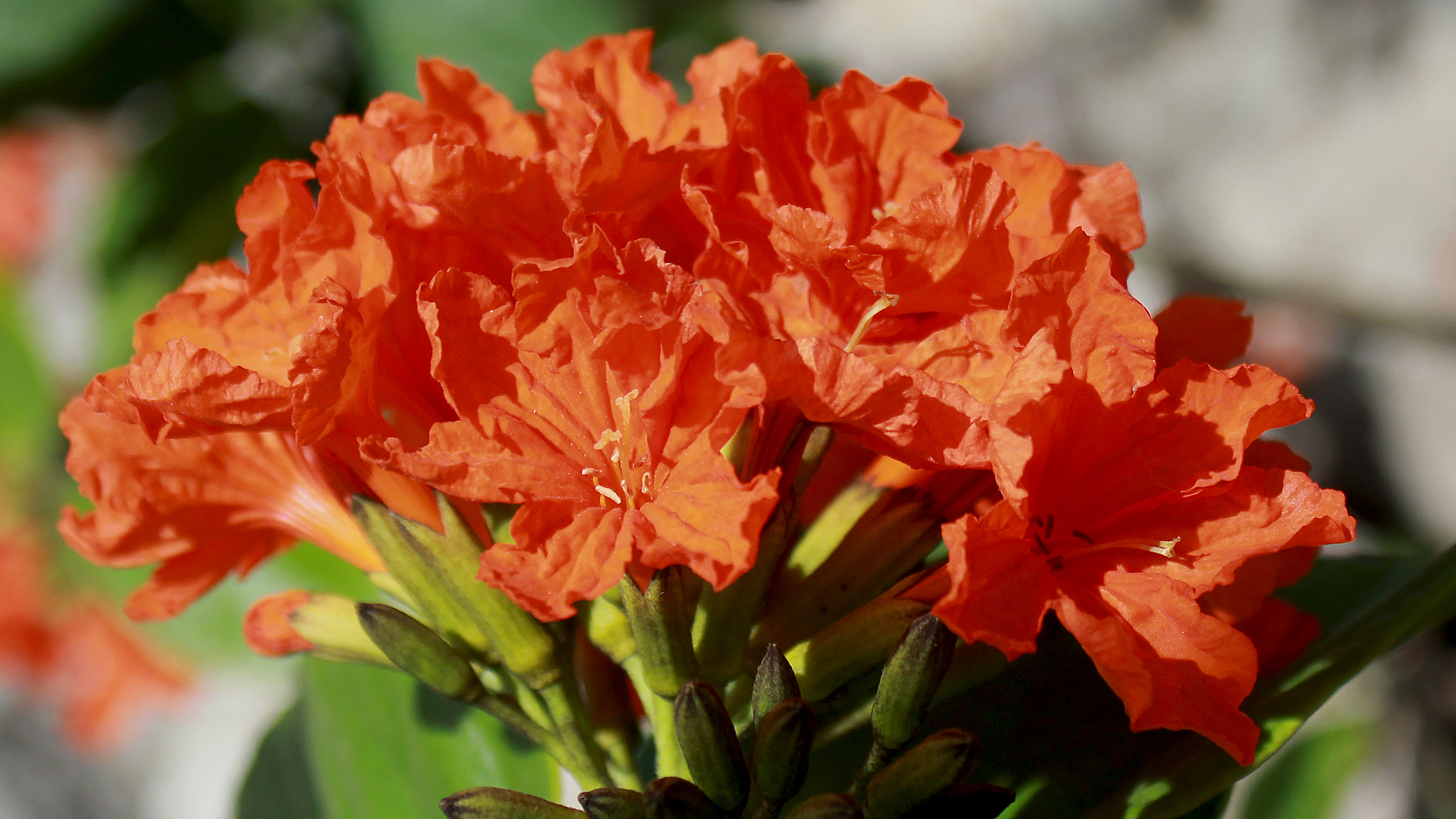
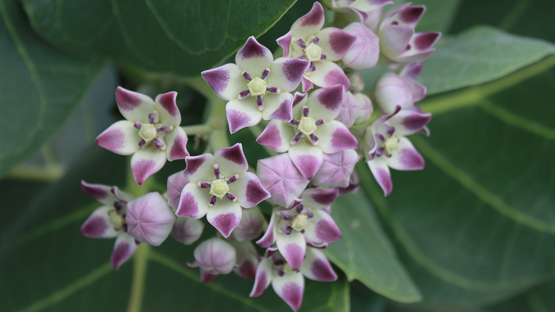
Misc Plants
