 The territory consists of three main islands: Saint Thomas, Saint John, and Saint Croix, as well as several dozen smaller islands. The combined land area of the islands is roughly twice the size of Washington, D.C.
The territory consists of three main islands: Saint Thomas, Saint John, and Saint Croix, as well as several dozen smaller islands. The combined land area of the islands is roughly twice the size of Washington, D.C.
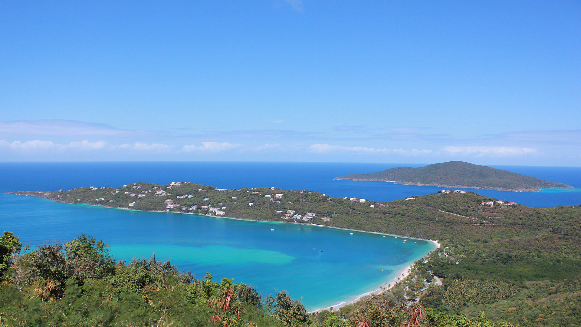
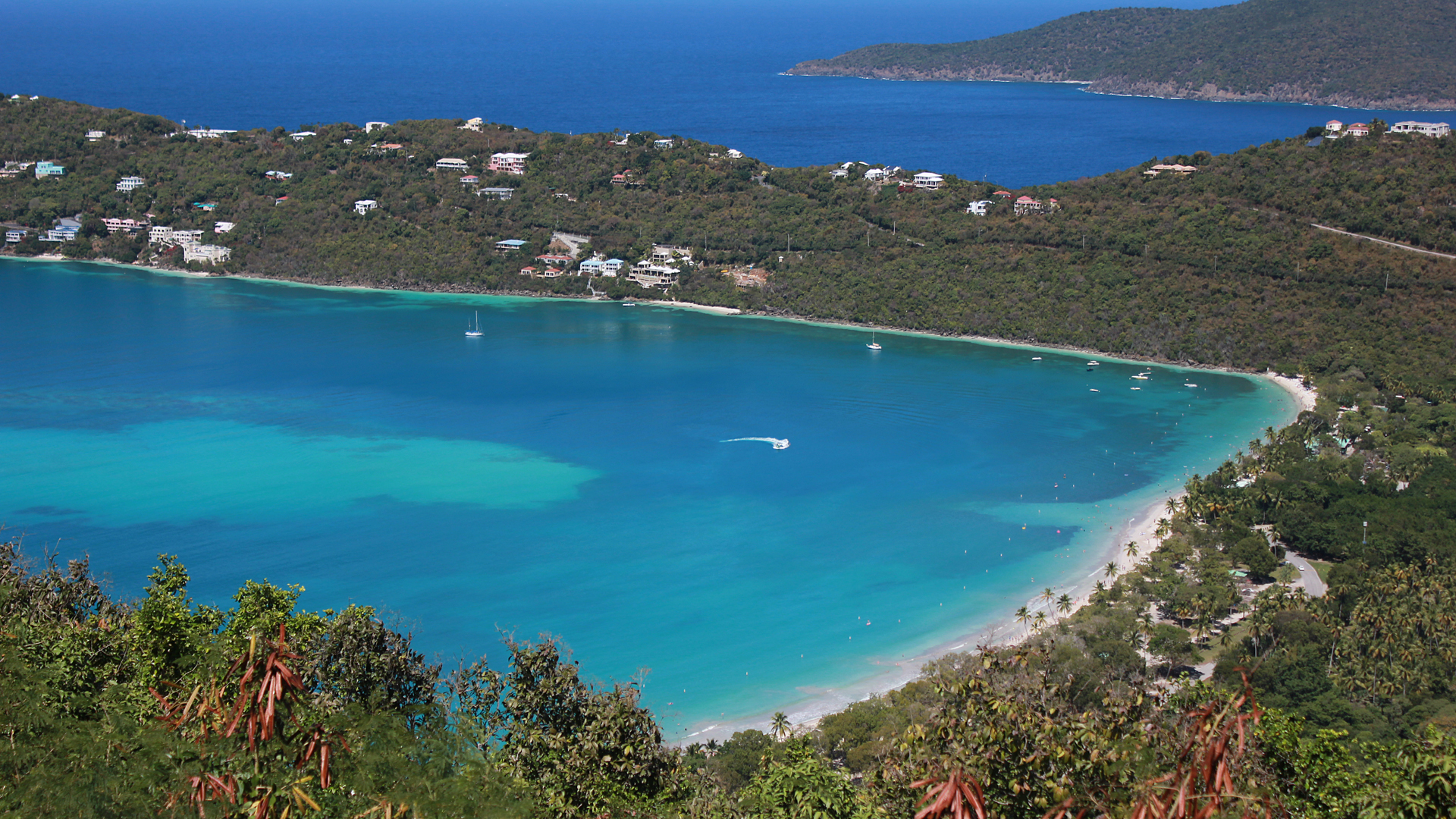
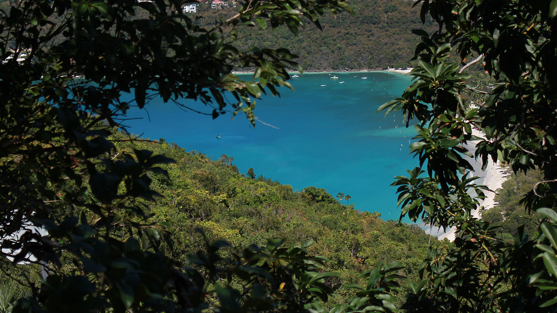
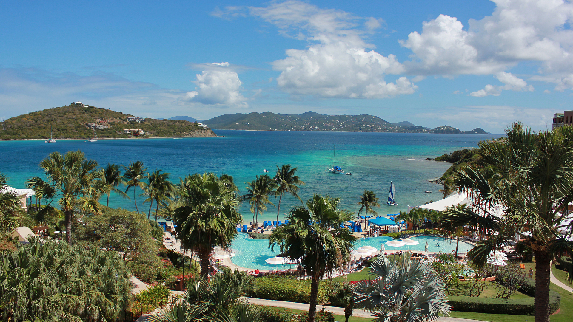
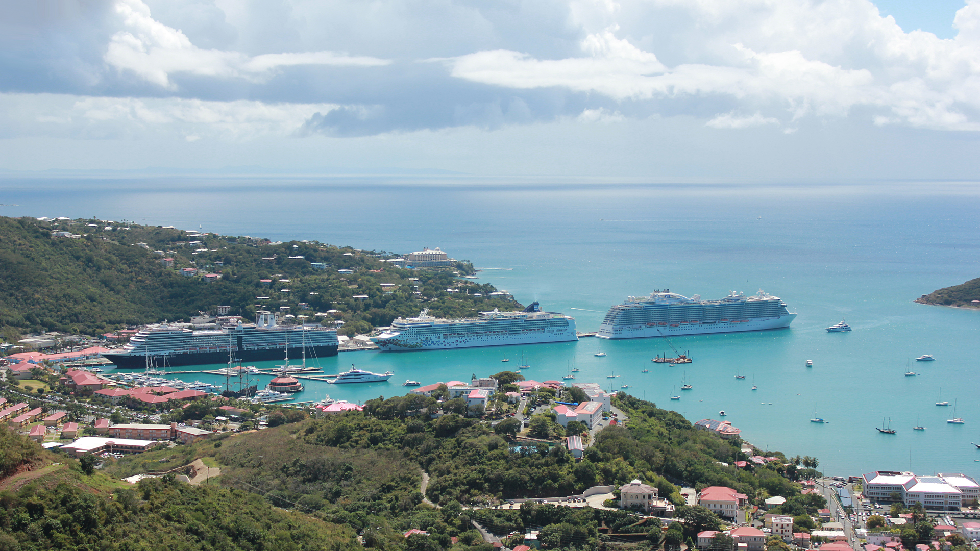
The U.S. Virgin Islands are known for their white sand beaches, including Magens Bay and Trunk Bay. The islands are volcanic in origin and hilly. The highest point in Saint Thomas is Crown Mountain with an elevation of 1,555 feet. The coordinates for the island is 18o21' N 64o56' W.
Religions in the United States Virgin Islands (2010)--Protestant (65.5%); Roman Catholic (27.1%); Other Christian (1.8%); Unaffiliated (3.7%) and Other religion (1.9%)
Ethnic groups--76.0% Black; 15.7% White; 4.9% Other; 2.1% Multiracial and 1.4% Asian
Common languages--71.6% English, English creole; 17.2% Spanish; 8.6% French, French creole; and 2.5% Other
The post-war era also saw the rise of tourism on the island. With relatively cheap air travel and the American embargo on Cuba, the numbers of visitors greatly increased. Despite natural disasters such as Hurricane Hugo (1989), Hurricane Luis (1995), Hurricane Irma (2017).
| Month | Jan | Feb | Mar | Apr | May | Jun | Jul | Aug | Sep | Oct | Nov | Dec | Year |
|---|---|---|---|---|---|---|---|---|---|---|---|---|---|
| Record high F | 93 | 93 | 94 | 96 | 97 | 99 | 98 | 99 | 98 | 97 | 95 | 92 | 99 |
| Average high F | 85.1 | 85.1 | 85.7 | 86.7 | 87.6 | 89.1 | 89.9 | 90.2 | 90.0 | 88.7 | 87.1 | 85.6 | 87.6 |
| Average low F | 72.4 | 72.3 | 72.9 | 74.1 | 76.2 | 77.7 | 78.0 | 78.1 | 78.0 | 76.9 | 75.2 | 73.7 | 75.5 |
| Record low temp F | 63 | 62 | 56 | 58 | 66 | 67 | 57 | 59 | 64 | 66 | 52 | 62 | 52 |
| Average precipitation in inches | 2.16 | 1.47 | 1.05 | 2.62 | 3.05 | 2.62 | 2.82 | 3.51 | 4.82 | 5.94 | 6.00 | 2.88 | 38.95 |
| Average precipitation days rain above 0.01 inch received | 14.3 | 11.8 | 8.1 | 10.7 | 11.9 | 11.1 | 14.8 | 14.2 | 14.6 | 17.7 | 17.8 | 16.7 | 163.6 |
Saint Thomas is divided into the following subdistricts (with population as per the 2010 U.S. Census)
The United States Virgin Islands is the only place under United States jurisdiction where the rule of the road is to drive on the left. This was inherited from what was the then-current Danish practice at the time of the American acquisition in 1917. However, because St. Thomas is a U.S. territory, most cars are imported from the mainland United States and therefore the steering column is located on the left side of the vehicle.
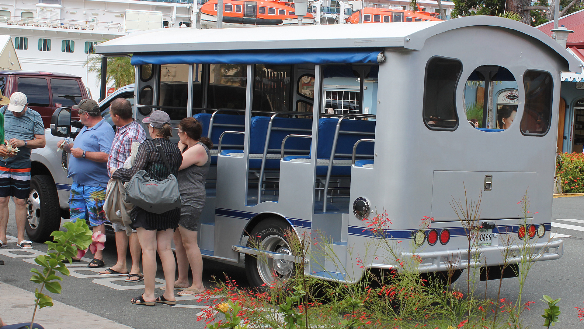
The island has many regular taxis from compact size to large vans, as well as open-air, covered trucks called "safaris" with bench seats. The "safaris" usually operates in high-traffic points like the cruise-ship terminals at Havensight and Crown Bay.
 |
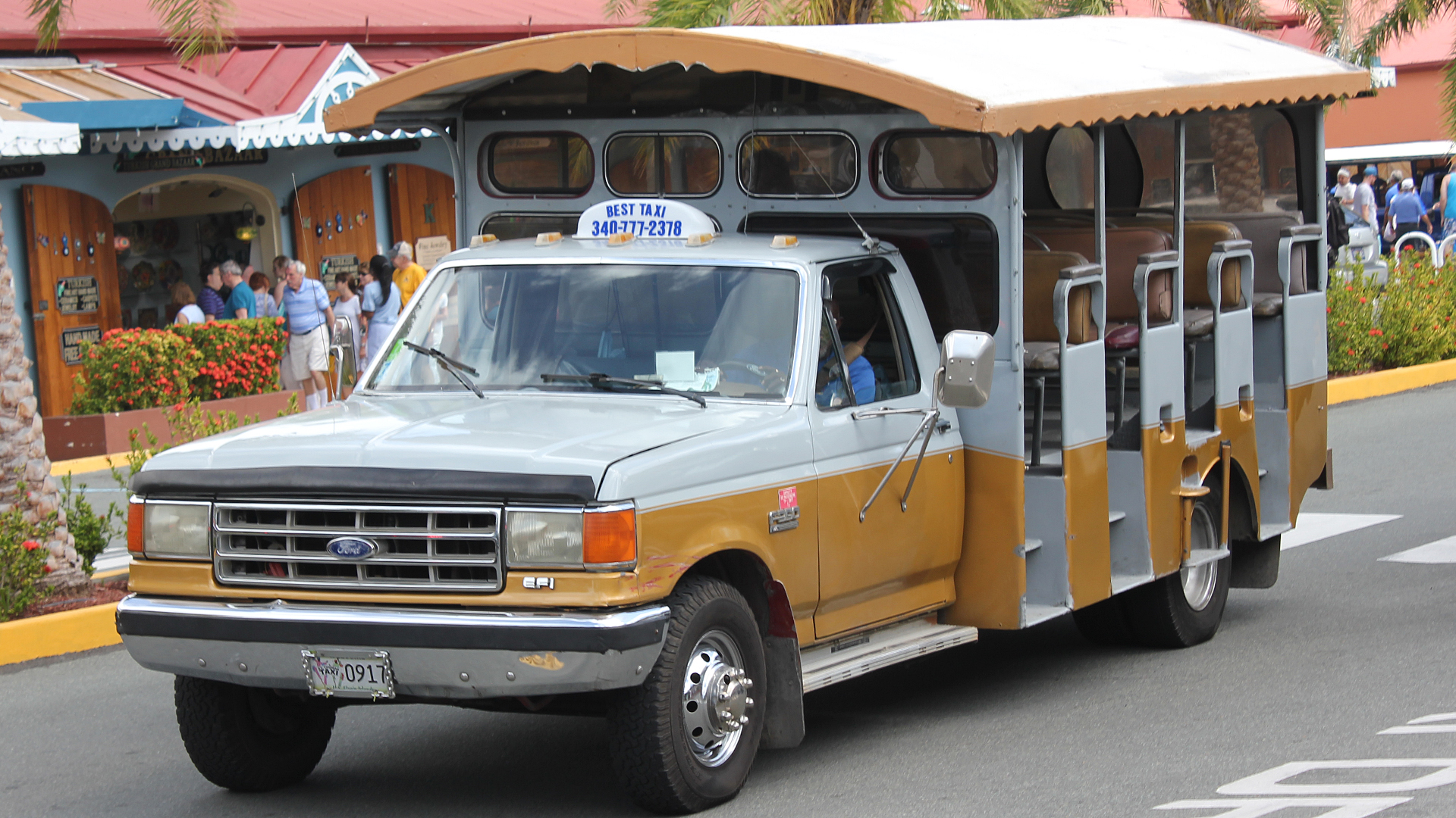 |
| New Safari | Old Safari |